CD Web Desk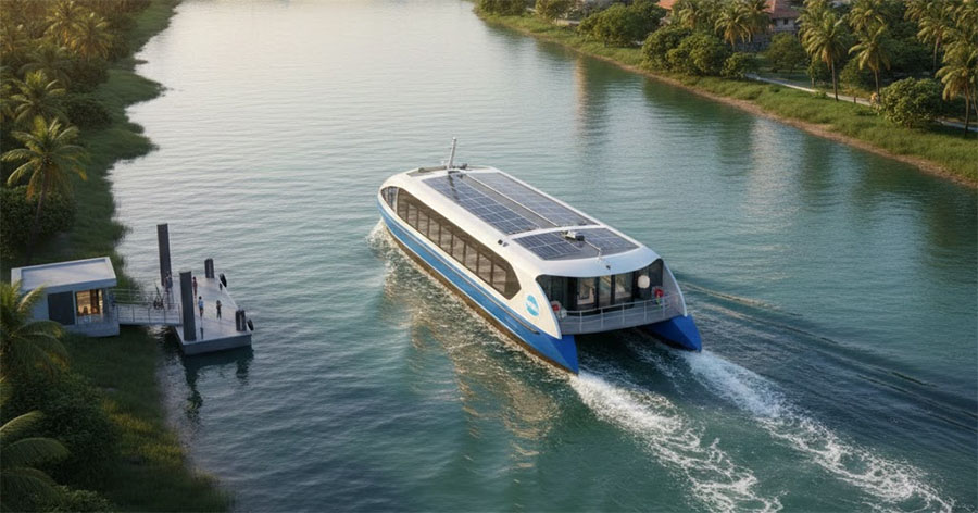
Mangaluru: The proposed Mangaluru Water Metro project has moved a step forward with 11 of the 19 proposed stations identified and finalised, setting the stage for detailed technical and financial assessments of a transport network that could eventually connect key parts of the city through its waterways.
The initiative, being pursued by the Mangaluru Port and Fisheries Sub-Division, envisages using the city’s extensive network of rivers, backwaters and coastal waterways for passenger movement while also improving access to important port and coastal locations.
Among the locations proposed to be connected are Old Mangaluru Port, Port Ferry, Sandbar, Thota Bengre, Hoige Bazaar, Jeppu and Ullal. Officials see the proposed network as having potential beyond public transport, particularly in strengthening connectivity to areas associated with trade, tourism and other water-based activities.
The Karnataka Cabinet had earlier directed that a technical and financial feasibility study be undertaken to assess the viability of the project.
The project, however, is still at a preliminary stage. During discussions with the PPP Cell of the Infrastructure Development Department on January 9, 2025, additional information on the tentative land requirement for the proposed stations was submitted. Officials said the precise land requirement for each location would be incorporated into the Detailed Project Report (DPR).
The next phase will involve determining the technical feasibility, finalising the alignment and routes, preparing station designs, assessing the exact land requirement and working out the financial and implementation models.
The 11 stations currently finalised are Jeppinamogaru NH, Northern Sand Bar, Old Port, Port Ferry, Sandpit Bengre, Bangra Kulur, Kulur Bridge, Kasaba Bengre, Sultan Battery, Jeppinamogaru Old Ferry and Tannirbhavi Church.
Kulur Bridge is expected to be an important component of the proposed network, with two station concepts being examined at the location — one based on a Roll-on/Roll-off (Ro-Ro) model and another using a floating station design.
The Water Metro concept draws on Mangaluru’s distinctive geography, with the city surrounded by rivers, waterways and the Arabian Sea. Using these water routes for passenger transport could provide an alternative to road travel and potentially help ease traffic pressure on some stretches.
If the project eventually takes shape, commuters travelling between selected parts of the city could have the option of using waterways instead of relying entirely on road-based transport. It could also improve accessibility to several coastal and riverside destinations that currently have limited public transport connectivity.
Several operational details, however, are yet to be determined. The preliminary document does not specify journey times, service frequency, passenger capacity, fares or the final routes. These details are expected to be addressed as part of the DPR and subsequent feasibility studies.
Shashidhar, Assistant Executive Engineer of the Mangaluru Port and Fisheries Sub-Division, said an initial report on the Water Metro proposal had been submitted to the government.
“Of the 19 stations identified under the project, 11 have been finalised,” he said.